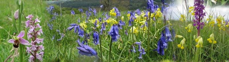
Hunter's Hall is near Kingswood on the road from Dursley to Tetbury. Our typical Sunday walk usually involves lunch at a pub, so we were able to book a table for lunch at Hunter's Hall and leave several cars in the car park while doing this walk. You should allow yourself about two hours to do the 8.5km (about 5 milles), with about 170m of climb (500'). The views when looking over Lasborough when descending to Newington Park are delightful, and there are a couple of opportunities to observe water foul on small lakes. Most of the walk is through woodland or meadow.
{mosmap kml='http://minchwildwalks.org.uk/joomla30/images/kml/WalkMap/newington_bagpath.kml'| overview='1'|mapType='satellite'}
- On leaving the hotel car park by the entrance on the side road down to Newington Bagpath, cross to the field gate on the opposite side of the road and enter the field.
- There are two public footpaths across this field - both go to more or less the same place, but you will probably find it easier to turn right along the field boundary rather than heading straight across through the crops. Continue until you are able to enter the woodland.
- Follow the path through the woodland until you emerge into a sloping field. The path trends down the slope and curves to the left toward the bottom corner of the field and an entry into more woodland.
- Stay on the side of the valley by the upper boundary (there is another footpath going down the bottom of the valley).
- Eventually emerge on the road to Newington Bagpath, by a derelict church on the opposite side of the road.
- Walk down the road and look for a style just the other side of the churchyard.
- Enter a field in which there is an Mott-and-Bailey, climb past this structure to the upper boundary of the field.
- Follow along the upper boundary of the field, eventually emerging into parkland, having excellent views down over Lazborough and Newington Park.
- Descend the grassy slope towards the drive entering Newington Park and head for an obvious field gate on the other side of this road.
- The track continues down the slope towards a stream in the valley bottom and follows the stream. Continue along this track, passing a small lake to the right.
- Continue with the track, passing a lake to the left (sometimes dry), and trend round to the right keeping to the track in the valley bottom.
- Continue along the track in the valley bottom. Note a track coming down the hill from the right. The route in the valley bottom from here can be wet for a short stretch. The track climbing the hill presents an alternative (see the map) climb a short way and look for a track on the left following the valley at a higher level. This is not well walked and itself will not be free from mud - but it is a viable alternative in very wet weather.
- Continue along this track until you see a grassy slope opening up on the right hand side, with a valley coming in from the right.
- There are two rights of way here. If you continue to the corner where the valleys meet you will be able to turn right into the new valley.
- Alternatively, it is possible to climb the "nose" of the corner where the paths meet and take the upper track marked on the map above.
- Continue along the bottom of the valley, through several field gates, until it gradually climbs back to the Cotswold plateau at Bagpath.
- The route from the final field is not well way-marked. Keep to the boundary of the house garden (on your right), with a further field to your left along a narrowing track. (When we last did this a field gate had been replaced by several wooden planks, which had to be lifted out of the way and then replaced. Continue through the small woodland.
- You will emerge onto the road by the post box in Bagpath. Take the road towards Kingswood more-or-less opposite to your point of emergence.